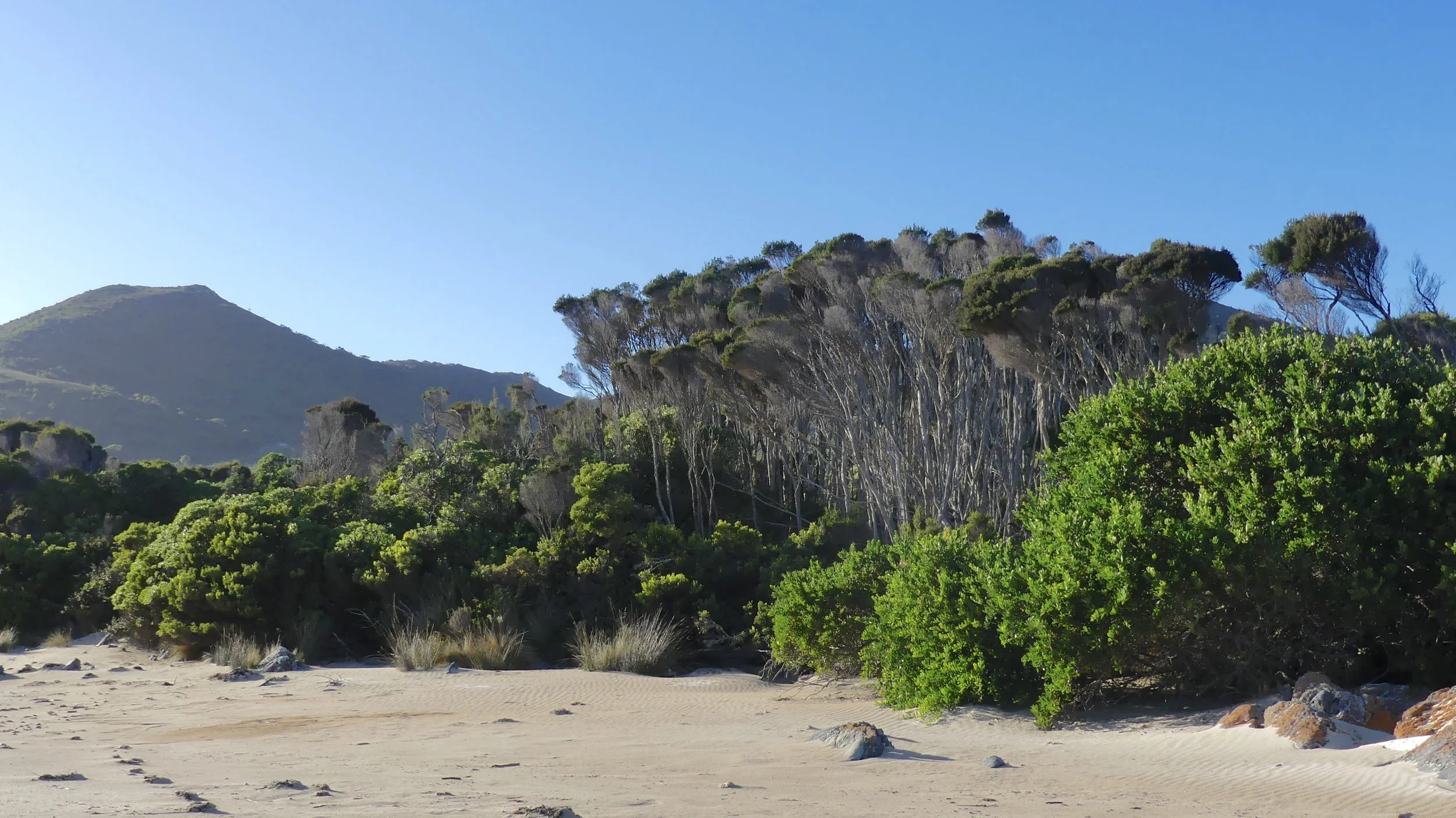
Wilsons Prom
Australians love to shorten words – it's often too hot, I guess, to waste energy on lots of syllables. They talk about ambos and biccies and garbos and tinnies*. They do it with place names, too. So, Rocky (Rockhampton) is in Queensland and The Alice (Springs) is in The Territory (Northern Territory). Aussies love to watch footie at The Gabba (Brisbane Cricket Club, in Woolloongabba), or the MCG (Melbourne Cricket Ground), which is further shortened to The G. During Melbourne traffic reports you frequently hear about congestion on The Tulla (the Tullamarine Freeway), and there are many more short forms.
(This morning, two days after this post, I heard 'Dandenong Ranges', low hills east of Melbourne, reduced to 'D'nong Ranges'. This helps me enormously since I have had difficulty with the D-word's pronunciation since I arrived down south. I said 'Daddendong' at first, in error, but then the mutant version, although silly, kind of grew on me. D'nong will save my blushes.)
At Easter we went to Wilsons Promontory, similarly overburdened with syllables. (Once there, you can refer to it simply as The Prom.) Many people had told us how beautiful it was, and they weren't wrong. It takes roughly two and a half hours to drive there from our suburb in south central Melbourne**, but longer on a four-day weekend, when the greedy tourism industry insists you stay a minimum of four nights, which means sitting in a traffic jam with everyone else after work the evening before the holiday, or getting up long before dawn on the working day following the long weekend.
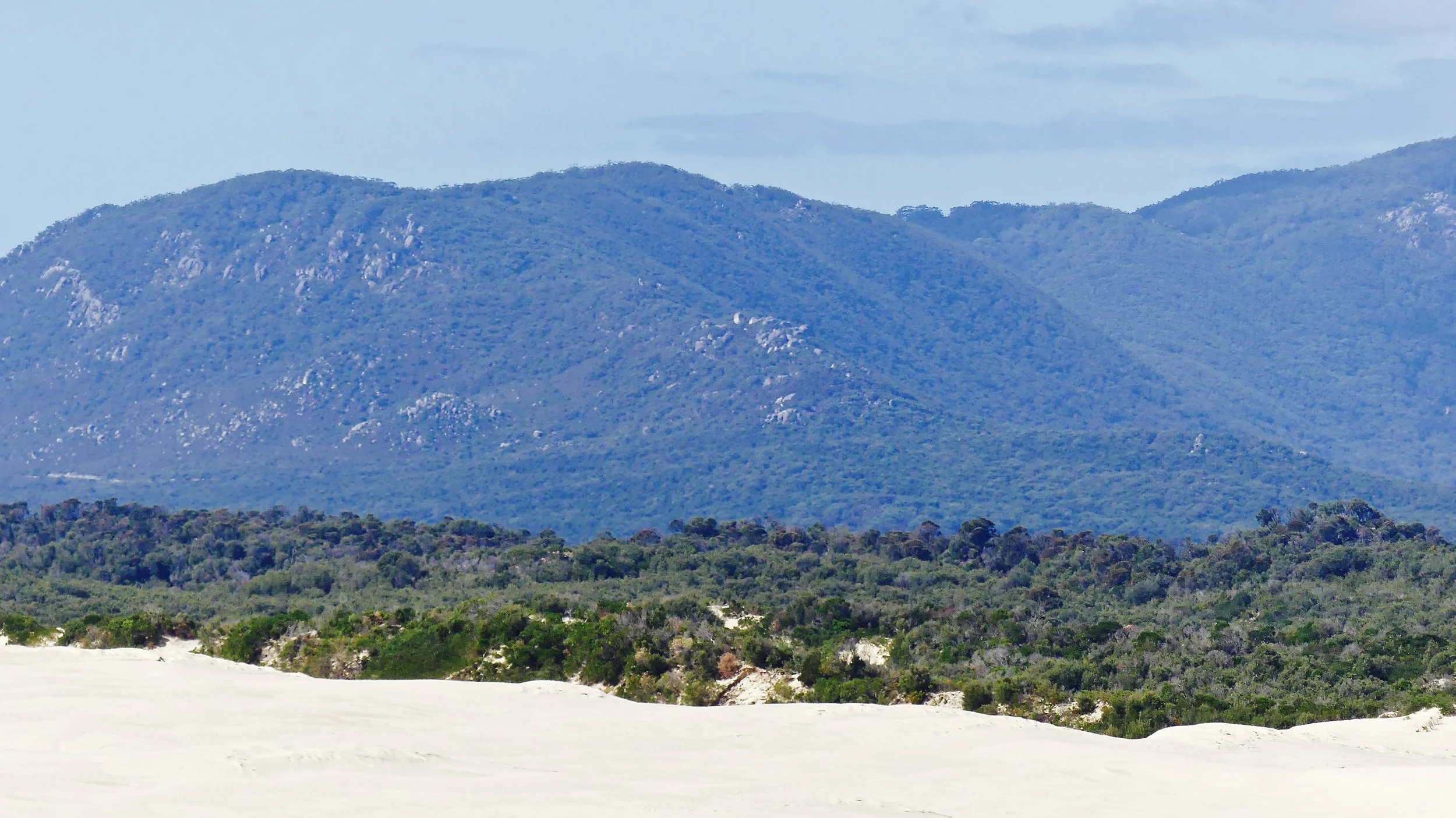
Wilsons Prom is the southernmost tip of the Australian mainland, and has been described as having one of the most dramatic landscapes on the continent. It is part of the southern edge of the Victorian Highlands, and consists essentially of a large dome of intrusive igneous rock – a batholith – that extends to unknown depths of the earth's crust. On the surface, some of the granite has been heavily weathered. Elsewhere, in lower regions of the peninsula, there are varied marine, aeolian, alluvial and colluvial (accumulated at the bottom of a steep slope) deposits. The climate is largely cool and mild, with few extremes.
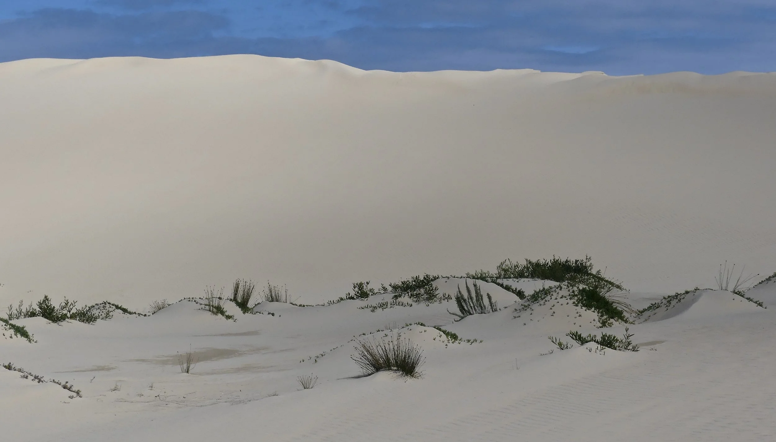
So the peninsula is endowed with granite mountains rising out of the Bass Strait, sweeping sandy beaches, extensive dunes, heathland, salt marshes and mudflats, mangroves, grasslands, both wet and dry sclerophyll forest, and both warm and cool temperate rainforest. There is a huge variety of walks, from 30-minute trundles from car park to beach, to overnight hikes that require you to carry camping gear. Even short walks reward with diverse landscapes, vegetation and wildlife.
A 30-minute drive south of the Park gates (entry is free) is the settlement of Tidal River. There's a visitor centre, general store, cafe, overnight parking for long-distance walkers, camping, caravan park, cabin accommodation, picnic areas and barbecues, and showers. Please note, there is no fuel; and no road much beyond Tidal River†. If you want to get remote, or be able to say you've been to South Point, there's no option but to hike. It seemed strange to have such a bustling settlement in the middle of a national park. On a holiday weekend it was congested with coaches, cars and people. We visited briefly our first day: it wasn't easy to park and, after a quick look at the tourist information centre, we got the hell out.
The road to Tidal River has an 80 kph speed limit, which is too fast. We kept well below that but were still unnerved to come upon a wallaby sitting right by the road a couple of times, and a wombat crossing slowly just around a corner. No dogs are allowed in the Park by the way.
We stayed in a great cabin south of Yanakie and a few minutes' drive from the Park gates. We had tranquil views and nice neighbours.
These two visited in the early morning.
White-browed Scrubwren – a first for us
Eastern Yellow Robin
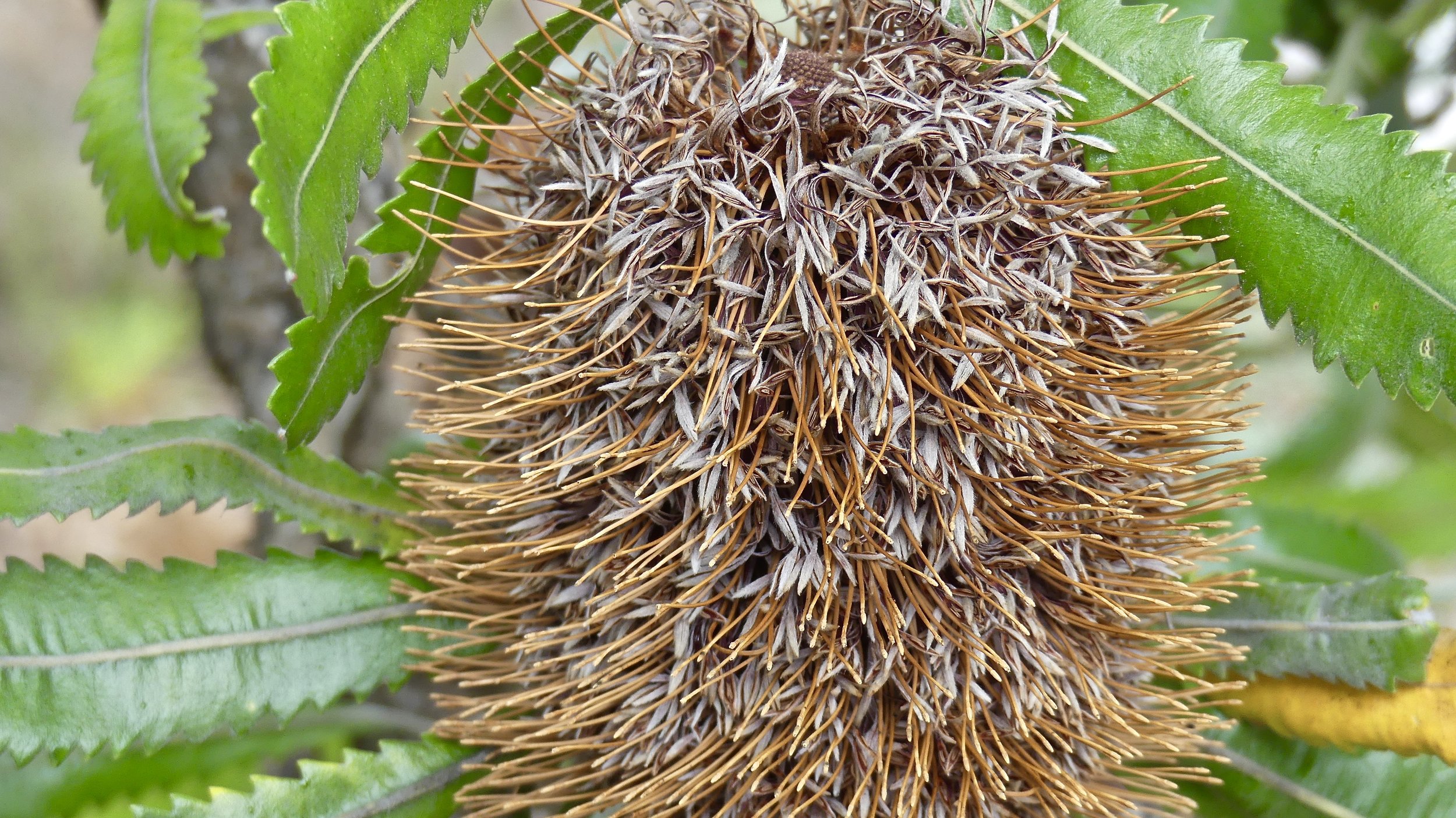
The first day dawned bright, but cloud was moving in. We decided to stay relatively close by, in the north of the Park, reputed to be much less crowded than other parts. We walked through heathland, Serrated Banksia woodland and stringybark forest to Vereker Outlook, at 300 metres the highest track in the northern Prom, in granite boulder country. Take Five Mile Road off Wilsons Promontory Road, the main road through the Park. Five Mile Road is an unsealed service track: you don't need a 4x4, although it is corrugated in places, but beware idiots that have them driving too fast off road because they can.
On the way up it showered, but the sun shined on the summit and surrounding views.
There were lots of wombat scats by freshly dug hollows. A wombat produces square poos, which is odd because it is one of the most beautifully rounded creatures on earth. The scats remind me of small, slightly burnt slices of wholemeal toast. We had yet to see wombats themselves.
Towards Corner Inlet
Towards Cotters Beach
The mountains of the interior
As you come down from Vereker Outlook, keep straight on along the path rather than turning left back to Five Mile car park. Cross Five Mile Road and walk down to Millers Landing, through more banksia and stringybark forest to the world's southernmost mangroves in Corner Inlet. As well as out-of-context mangroves – they grow in profusion in northern Australia – you'll see a variety of birds in this internationally significant wetland habitat for migratory species. In the summer as many as 30,000 birds arrive in Corner Inlet to nest, feed and breed. More than 50 per cent of Victoria's migratory waders seek sanctuary here, protected under the Ramsar Convention. Unfortunately, the migrants depart in March and April.
At low tide you can walk out to a small island, but please take care not to disturb resting birds on the rocks. The landscape's a bit surreal down here.
10 Ibis posing
3 Sooty Oystercatchers and 3 Pacific Gulls sharing
3 Pacific Gulls dozing… and one on look-out duty
2 White-faced Herons hiding
The White Mangrove's aerial roots grow upwards in response to a lack of oxygen in the muddy, sodden soil. I grew to appreciate mangroves while living in Queensland: it was good to see them again.
Look out for Big Drift and Three Beaches for more on The Prom.
* ambo = ambulance; ambulance driver; paramedic
biccie = biscuit
garbo = garbage collector; rubbish, as in worthless
tinnie = small aluminium boat; beer can
** From the centre of Melbourne take the Monash Freeway (M1) as far as the South Gippsland Freeway (M420). At Lang Lang follow the A440 to Meeniyan, from where the Meeniyan-Promontory Road (C444) takes you to The Prom via Fish Creek and Yanakie.
† If you want to walk in the southern Prom, you can drive on as far as Telegraph Saddle (Mt Oberon car park), but the road is closed when the car park gets full. A shuttle bus may run from Tidal River.
