Why is there a Wet?
If you come from temperate climes, where it rains off and on fairly regularly and predictably, the idea of serious drought, sometimes for years, and then a downpour on a scale hitherto unimaginable is intriguing. Not to say terrifying, if the latter is accompanied by the kind of storms we experience in Brisbane. I have yet to see the huge hailstones that fall out of a green sky and destroy roofs and cars big time, but only a small part of me (the photographer) wants to.
It's rained a lot the last two weeks; all part of 'the Wet'. In Tropical North Queensland especially there are two seasons, the Wet and the Dry. South East Queensland is subtropical and the lines are a little blurrier. Since I've lived in Australia, however, there doesn't seem to be any such thing as normal weather patterns: records are frequently broken and no one predicts with confidence.
Last year's floods happened because of rains exacerbated by a La Niña event. The La Niña or El Niño effect, as measured by the Southern Oscillation Index (SOI), increases or decreases the likelihood of rainfall, and can last many months. My favourite weather lady, Jenny Woodward, updates the SOI every week as part of the ABC's forecast. A negative value means less rainfall than usual is likely: a severe drought resulted from El Niño events in 2007 and 2009, for example, and was relieved a matter of weeks before we arrived in Queensland. A positive value means La Niña is the dominant influence and there is likely to be more rain (and lower temperatures) than usual: I can't remember anything but positive values since I've been here*. To understand how these effects come about, see A bigger wet, October 2010.
There are also monsoonal effects on the weather here. From October to March high pressure sits over the Himalayas and an ocean current (the Indian Ocean Counter Current) flows from west to east in the Timor Sea, blocking the 'Indonesian Throughflow' from the Pacific the rest of the year. This results in a large mass of relatively still water off the northwest of Australia, which heats up in the summer sun. Evaporation occurs, making the air above the 'warmpool' very moist. Northern regions of Australia are also warming up, and hot air rises leaving low pressure beneath. (Such heat lows only occur over large land masses.) Air flows into the low-pressure area, pulling the monsoonal air in over northern Australia.
So, during the week 18-24 January, the Bureau of Meteorology reported that 'an active monsoon trough, as well as other low pressure troughs, resulted in high rainfall totals in parts of northern Australia… Large-area rainfall totals of greater than 50mm were reported in much of central Queensland and the southeast Queenland coast'.
And the following week 'an active monsoon trough across the north, along with surface troughs throughout the centre and east of the continent, resulted in heavy rainfall and flooding in many parts of northern Australia, southern Queensland and on the east coast between Rockhampton and north NSW. Areas with rainfall totals exceeding 400mm were in south-east Queensland.'
A trough, by the way, is an elongated area where pressure is lower than in the surrounding area.
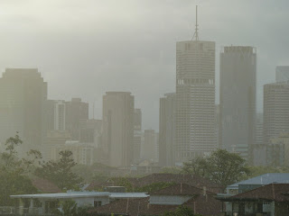
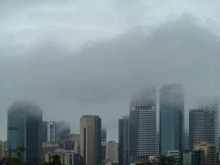
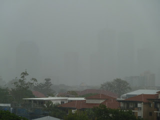
So, now you know why the cityscape has often looked like this lately.


*According to the Australian Meteorological and Oceanographic Society (AMOS), what was to become a 'super strong' La Niña event began in April 2010


