Tasmania's northwest
From Freycinet to Tasmania's northwest, we headed back up the Peninsula to the Tasman Highway and then south, passing Coombend Vineyard on the East Coast Wine Route. At The Edge restaurant in Coles Bay we'd enjoyed a very respectable Coombend The Mail Run blend of Cab Sav, Merlot and Cabernet Franc (and an equally impressive Freycinet Vineyard white – although not on the same evening). I liked the patterns of vegetation and, slightly further up the road, our last view over more vineyards, Coles Bay and The Hazards.
We turned off the Tasman on to the B34 and climbed and twisted and turned our way over a series of tiers (ranges), eventually dropping down to Campbell Town on the Midland Highway, back in golden-grain country. There were cute mini hay stacks as we drove into town, where we stopped for coffee at Red Bridge Cafe and Providore. The building dates from 1836 and has been a brewery, an army training base and a masonic lodge in its other lives. It was full of interesting artefacts and local Tassie produce. We dallied so long we were late for lunch.
When I told one Australian friend I was coming to Tasmania, she had only two words for me, and they weren't Cradle Mountain. Josef Chromy, she insisted, I must not miss. On the Tamar Valley Wine Route, this vineyard is in Relbia between Launceston and its airport. Chromy hails originally from Czechoslovakia, which he fled in 1950. After a tasting that included sparklers, Riesling, Chardonnay, Sav Blanc, Pinot and Cab Sav, we settled down in the Cellar Door Cafe – in the estate's original homestead by a lake – for a delicious lunch. We're now big fans and have just received the case we ordered while we were there.
The Bass Highway runs from Launceston via Deloraine and Devonport to the west coast. It's quite fast, and sped us on our way to Table Cape, just beyond Wynyard. We no more than glanced down upon a series of towns and cities large by Tasmanian standards. Devonport on the Mersey River is the island's third-largest city, from which ferries connect with mainland Australia. I'm sure Bernie has nice bits but we just saw endless commercial and industrial ribbon development along the Highway – and all at a tedious 60km/hr.
One place does deserve a mention, however. Penguin, between Ulverstone and Bernie. I had to stop here. We searched for a while to find a placename sign, and in the process hit upon the town's delightful station.
Wynyard is the gateway to a beautiful coastline, Table Cape. We were here at the wrong time of year, however. Late September and early October are when this promontory's rolling fields of rich volcanic soil are a riot of colourful stripes as tulips come into flower. I would dearly love to see this, but I did my best to find alternative local colour (the pale sections of the brown stripy fields are tulip bulbs ready for next season).
The classical white masonry tower of Table Cape Lighthouse was constructed in 1888 at the edge of a sheer cliff. Its white light has a range of 33 kilometres (and the red, 26km).
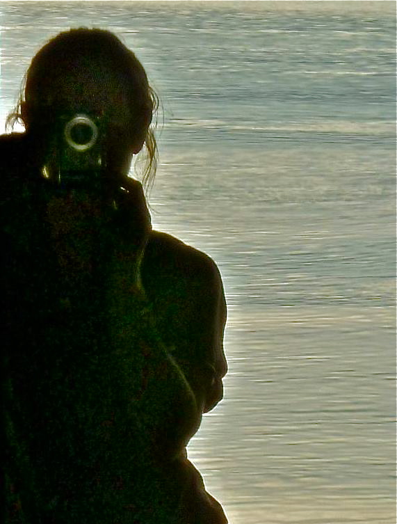
Table Cape Lookout is nearby but we had our own, very special lookout. We were staying in the award-winning Winged House just down the road. This stunning building looks as if it's about to take flight off the cliffside on which it perches. I spent a lot of time staring out over the ocean or capturing it; and we went to sleep each night to the sound of waves, as we had at Binalong and Coles bays.
A few kilometres to the west of our house was Rocky Cape National Park, otherwise known as Tangdimmaa. This was an area of great significance in Aboriginal Tasmania: here the Rar.rer.loi.he.ner people lived in sea caves along the rocky shoreline. (I'm glad I'm writing their name and not trying to pronounce it.) There are numerous walking tracks criss-crossing the Park; we only had time for a short one on our last day in the northwest before heading for Cradle Mountain. We chose the Banksia Grove and Caves Circuit for its large stand of Saw (or Saw-tooth) Banksias, distinguished by their serrated leaves and splendid flower spikes. The walk starts from the boat ramp at Sisters Beach, the only place in Tasmania where this tall Banksia grows. There's a steep climb up to coastal heathland but you soon reach the Grove. The seed capsules developing among the mature flowers resembled faces.
I'm not absolutely sure why this walk was such a delightful experience: a dazzling day; Banksias being as quintessentially Australian as gum trees; insects buzzing and lots of birds darting and singing (although difficult to identify in such bright sunlight); a man monitoring invasive plant species (the only person we saw); a stunning stretch of embayed coastline beyond the Grove; and, as we looked out over the clearest calmest sea, a strange phenomenon – cloud reflections on the water almost as far as the horizon. Look carefully at the last photograph below: the horizon may not be where you think it is.
We returned – via the not very exciting and rather uninspiringly named Wet Cave – to Sisters Beach. I liked the black and white seaweed, the clarity of the water and the jetty.
But this was only at the start of Tasmania's northwest.


