I want to live in Curio Bay
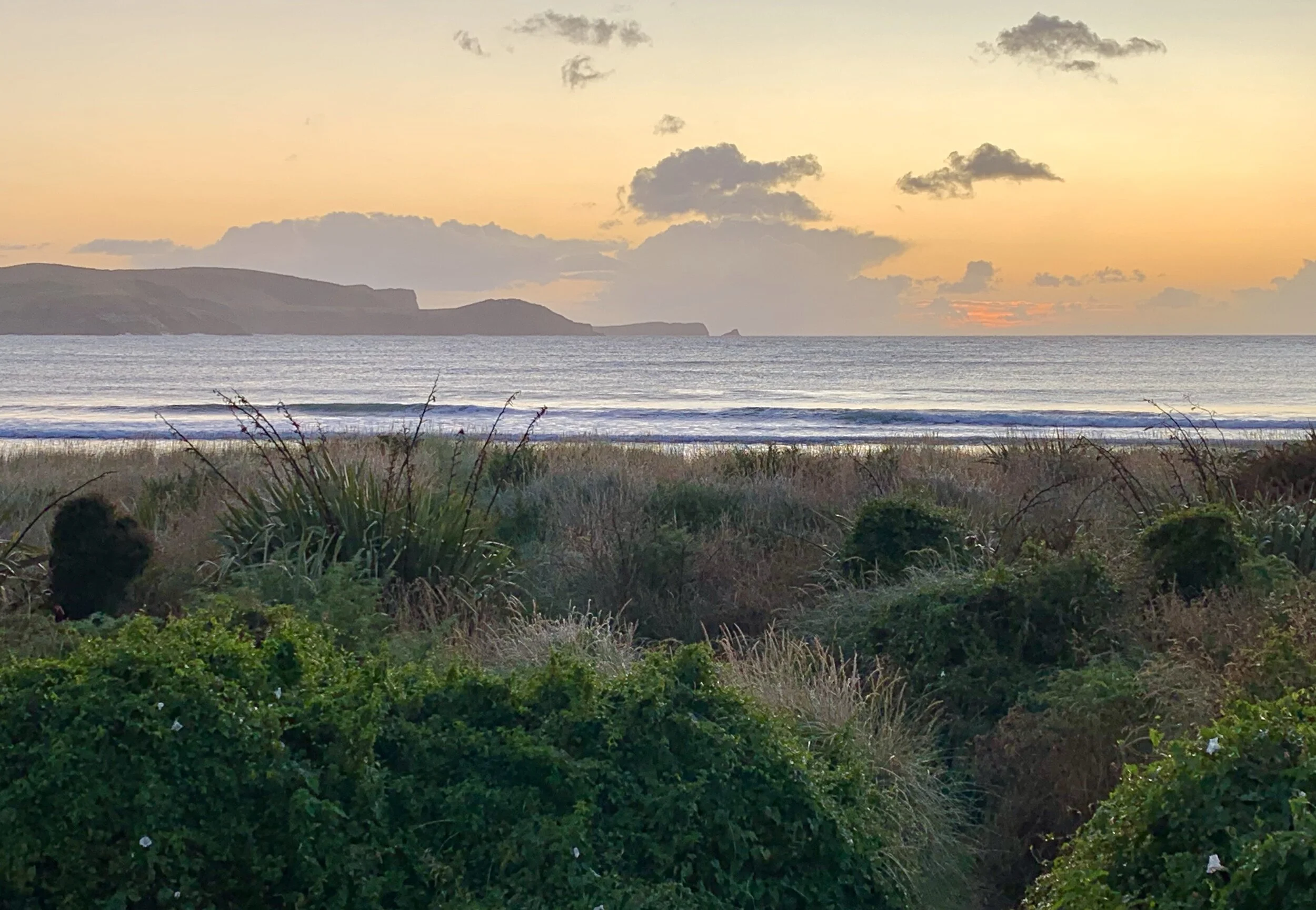
I want to awaken to a sunrise such as this, and know that, before sun-up, little Blue Penguins have waddled safely down to the ocean from beneath my beach house, their tiny, impermanent and almost imperceptible footprints in the sand the only evidence of burrows beneath.
Many days of the year probably don’t start like this, in what some would describe as the remote and often desolate bottom right-hand corner of the planet (on a Western-centric map, that is). There is, after all, nothing between here and Antarctica except for a few even colder and much smaller islands inhabited only by birds.
While Melburnians slowly spread their wings following harsh restrictions, Curio Bay seems an even better prospect than it did back in February. There are around 5 million people in New Zealand, and a couple of weeks ago a majority of them re-elected a young, progressive and empathetic woman, Jacinda Ardern, for a second term as PM. How those of us trapped in jaded, corrupt democracies look to that corner of the globe with envy and longing. (The All Blacks thumped the Wallabies the same weekend. And again last night. Just saying.)
To reach Curio Bay from the east, turn off the Southern Scenic Route on to Niagara-Waikawa Road. We were staying in a ‘boutique studio’ on Waikawa-Curio Bay Road, by the beach on the long sweep of Porpoise Bay. So not Curio Bay, in fact; but it scans better; and not everyone knows how to say ‘porpoise’ properly. Curio Bay is the name of a much smaller bay, on the other side of the headland at the southern end of Porpoise, and a tiny, almost non-existent settlement. There are no shops (or a supermarket), so stock up on the way at Invercargill, Balclutha or Owaka. Tumu Toka CurioScape has a campsite, a cafe and a museum that explains the origins of the petrified forest for which Curio Bay is famous – as well as its Yellow-eyed Penguin colony. Don’t depend on the cafe being open or well stocked.
One cafe you can rely on is the Niagara Falls, in the small hamlet of Niagara. Housed in an old school building, it’s run by a family who grow and make their own. There’s a lovely big garden with a great outlook and a peaceful vibe. We’d stopped there for tea and excellent cakes on the way to Curio Bay, but then remembered we were booked at the Niagara Falls for supper. Not a problem: we enjoyed much better fish and chips there than we had in Kaka Point.
Our ‘studio’ was large, roomy and welcoming; we soon realised we weren’t here for long enough. I went down to the beach immediately and looked this way and that. (Click on images to enlarge.) I walked along as far as a creek, where I stared-and-dared a dog on the other side to not disturb gulls I was suddenly guarding.
After supper we went into Curio Bay to check out tide times for viewing the petrified forest. We found a group of people watching out for penguins. And soon one appeared! There was a volunteer (instead of a ranger) sort of supervising, but she was uncertain what we were looking at. She told us a juvenile penguin had been seen recently. A man with a powerful zoom lens was much better equipped than the rest of us and described what he could see. Was it a juvenile Yellow-eyed Penguin? (Where were the pink feet or the beginnings of a yellow brow-line?)
The weather was blustery and the light was fading. Inevitably, it began to rain. Having stood for minutes in the same place, looking around, the penguin started to move in the direction of the nests, at the back of the beach and further along. Suddenly the weather took a turn for the worse: rain lashed the rocks. And the penguin was gone. Visibility was poor as I peered in vain for penguin shapes. I was concerned: it was a lone juvenile quite a distance from the nest. It must surely have gone back into the water?
Heading towards the nests
But there it was, gone
I worried, pointlessly, and speculated, irrationally, about what might have happened to the little thing, all the way back to the cabin. We pulled up the drawbridge and settled down to plan the next day. I hoped the penguin was by now in a nest with a parent.
Slope Point was too close to Curio Bay to be ignored. It has neither dramatic cliffs nor a sweeping shoreline, but it is the most southerly point of South Island, at the southwestern edge of The Catlins. We have a thing about geographical extremities, and a visit had to be fitted into the schedule. We got up early; packed hurriedly. It was about a 20-minute drive away and then a 20-minute walk across private land (not possible in the lambing season). As you might expect, at 46 degrees south, it was cool in every sense of the word.
The Catlins were once completely covered by forest. The first saw mill was built in 1865, and wood from this area was used to build many settlers’ houses in Dunedin. The cleared land became sheep and cattle farms. We were a little concerned about the segregation here.
We drove straight back to Curio Bay to study fossilised trunks, which were impressively intact. They are uncovered for four hours either side of low tide. In the Jurassic era, a lush forest of tree ferns, cycads and cone-bearing trees grew here. Heavy relentless rain falling on the ash-covered slopes of volcanoes created a huge sheet-flood of volcanic debris, including large logs, that extended over hundreds of square kilometres and destroyed the forest. The debris was subsequently covered by many layers of sediment and preserved for millions of years. Erosion by the sea has gradually revealed log and stump remnants.
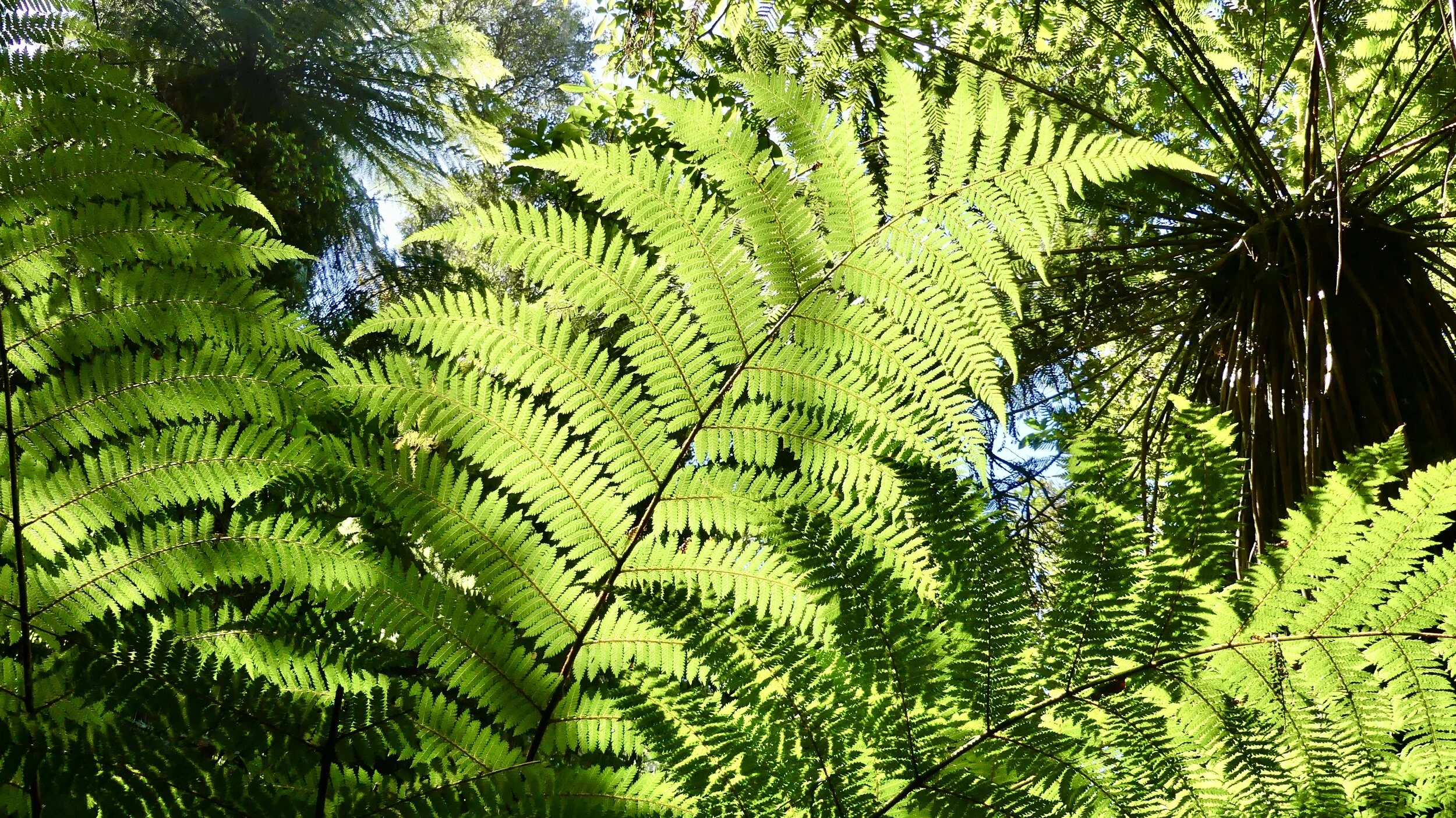
There is still a living forest beyond the back of the beach: the mataī and tōtaru trees are most likely the descendants of the petrified trees. This little forest oasis is rejuvenating: until 2009 livestock still grazed in it. There is a pleasant short loop walk which is well worth doing.
Rimu (Red Pine)
In 2009, the South Catlins Charitable Trust secured the land so that the forest ecosystem could be restored and protected from stock and predators. There is still work to do.
And then it was time to leave The CATlins behind and head west, to Fjordland and even more delights.
Just one last look at that sunrise.


