Watch on weather: early Morning Glory
In Spring or early Summer most years, a cloud phenomenon occurs in the Gulf of Carpentaria in Far North Queensland that is truly remarkable. It is capricious, large-scale and a thing of beauty. I have never seen it, but it is on my list. The best way to view it, however, requires nerves of steel.
The feature occurs at the end of the dry season, as the land heats up, and is the product of the convergence of southeast trade winds and sea breezes. The configuration of land and sea makes this a more regular weather phenomenon than roll clouds elsewhere in the world. There are three categories of Morning Glory Cloud, each defined according to its direction of origin. You can learn far more than I can explain here, a website compiled by meteorologists after years of Glory chasing.
This year a Morning Glory rolled in on the 20th of May (see here). That's three months ahead of schedule. Why?
I asked BOM whether there was a precedent. I had found no records online of a Morning Glory earlier than late August, with the overwhelming majority from September to November. I received an unsatisfactory answer from a media person. BOM doesn't routinely monitor this cloud phenomenon and therefore has no historical data for comparison. They don't know whether or not it has occurred in May, and they offered no explanation as to why it might have happened then. But they did add an interesting comment: 'It is however unlikely that something as broad scale as El Niño would play a role in the production of something as localised as Morning Glory clouds.' I hadn't mentioned El Niño in my email request, but I had wondered about larger climatic effects. I may have to do more digging.
By the way, the best way to view Morning Glory is from a glider. That would be more of a challenge for me than predicting the date of its arrival.
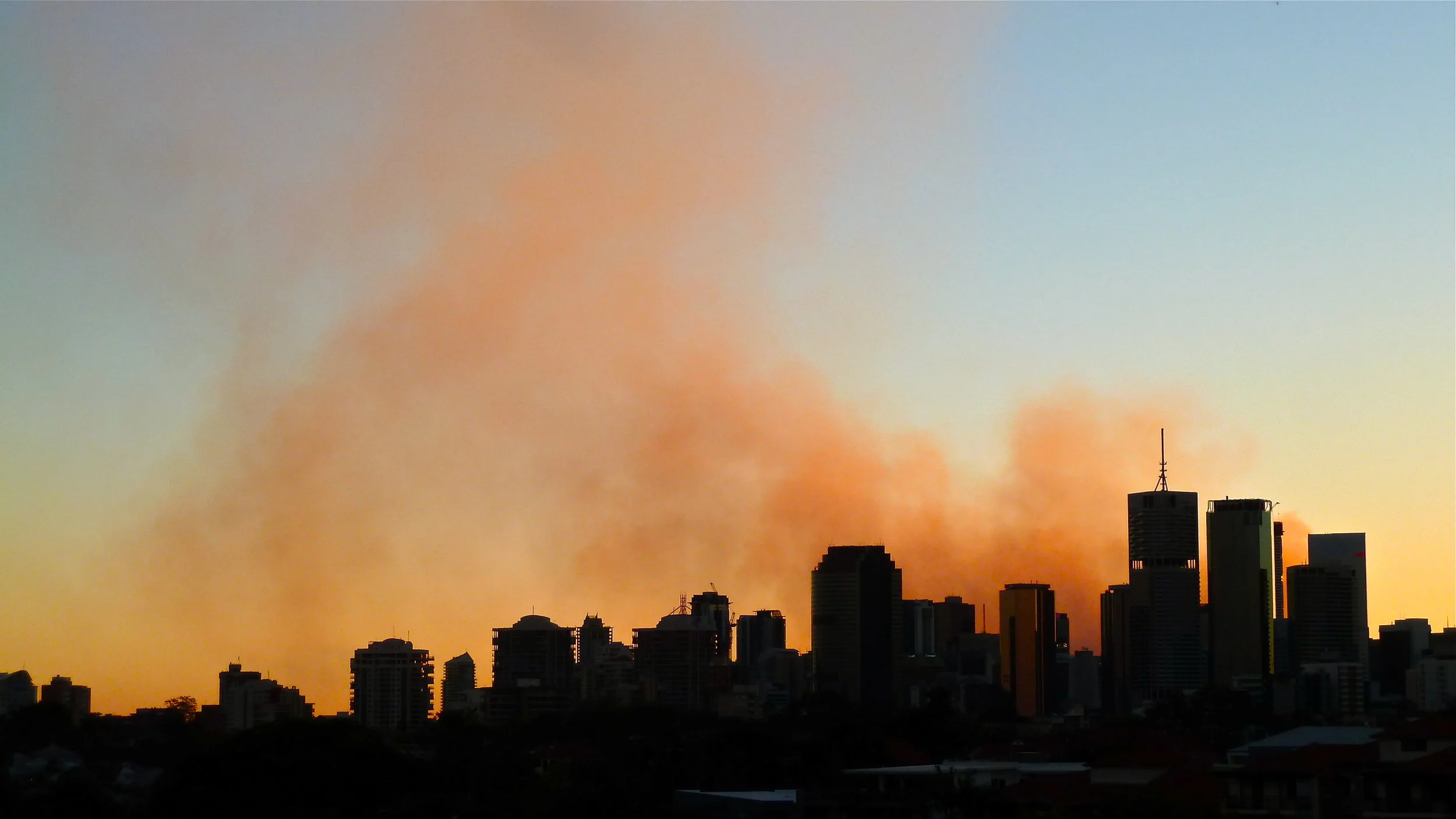
These are not roll clouds and they are over East Brisbane
Photo credit, top: Astronomy Picture of the Day


