And then along came Debbie
An Irishman in Brisbane gave us advice before we moved here. He told us umbrellas were pointless when it rains hard in Queensland. Water falls out of the sky like a sheet, with no spits-and-spots warning, and cascades off a brolly, transforming you into a water feature. The only footware as water teems down your street into huge storm drains is wellies or thongs (flip-flops).
It seemed a while since a tropical cyclone had hit Queensland. And then along came Debbie.
She came into being as a low pressure area over the Coral Sea near the Louisiade Archipelago in Papua New Guinea, on 23 March. This tropical low intensified over the next three days into a named cyclone. She strengthened into a category 4 system and made landfall north of Proserpine after lunch on the 28th, having battered the Whitsunday Islands first. This is the path she took, and what she looked like just before she hit the coast.
Debbie slowed down as she approached the Queensland coast, gathering power and adding to the drama. Not that Aussies get flustered about impending catastrophic winds, or, as it turned out, even more devastating floods. The drill has been well rehearsed. You prepare your property by securing loose items, taping up windows, bringing in animals, evacuating while it's still safe to do so, or battening down and staying put. You must not be tempted to venture out for a look around as the eye passes over.
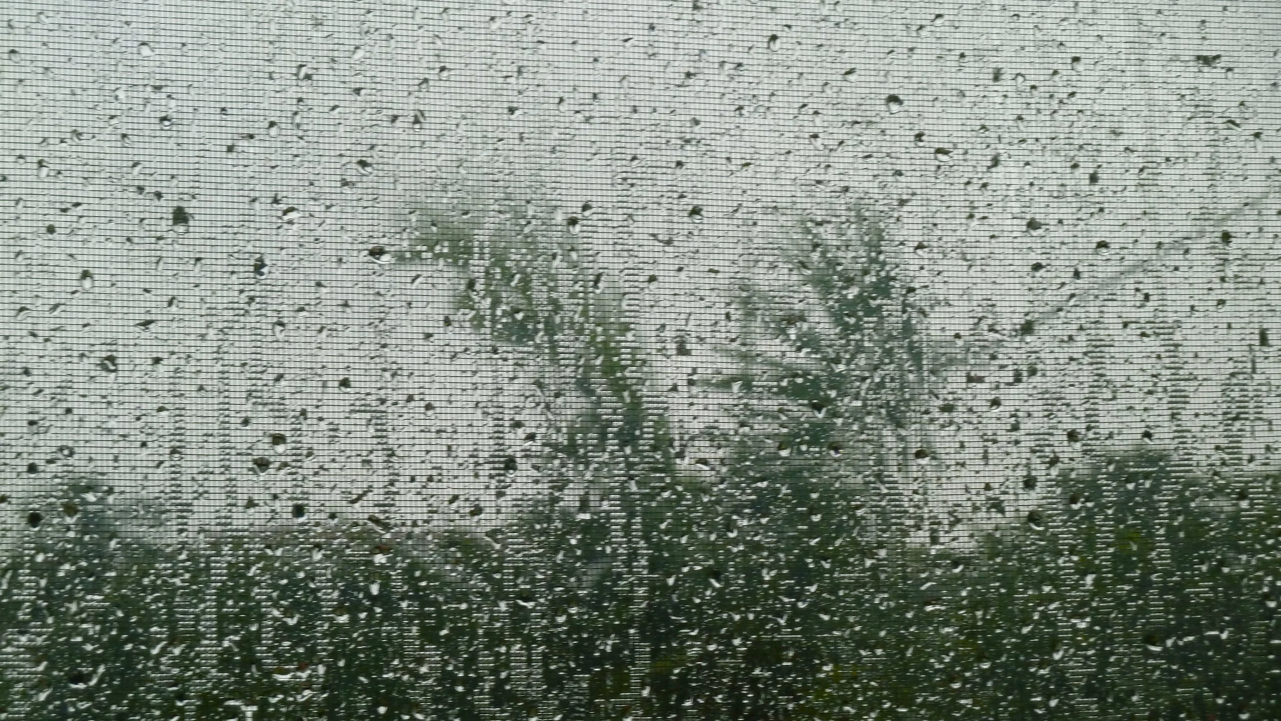
Debbie weakened once she was over land, and tracked southeast over Queensland as an ex-tropical cyclone. Don't be fooled by the 'ex', however (see So Oswald was an ex-tropical cyclone, was it? from January 2013). What most people would call extreme rainfall drenched Brisbane on the 30th for more than 12 hours. Schools closed and businesses were advised to send employees home by midday. You couldn't see out (top) and the gaping drains at the bottom of our hill couldn't cope. Birds disappeared. How do they know it's going to continue for hours? How can it keep up that level of intensity for hours? There were brief periods of ever-so-slightly less heavy rain, when I ventured outside, under a canopy, to try to photograph the impact of a heavy-rain droplet, and spatter patterns, to stave off cabin fever.
The rain eased during the evening, but not before the old eye of the cyclone passed over Brisbane. It was clearly visible in a circulatory cloud system on the Bureau of Meteorology's radar.
During the 'event', 20 rainfall stations in Queensland recorded their wettest March day on record. The previous March monthly rainfall record in Brisbane was in 2001, at 247.4 mm. In March 2017, there was officially 298 mm. Our weather station, however, recorded 365.4. Debs was the most destructive cyclone to hit the state since Yasi in 2011. Do you remember the category 5 storm that hit the Far North within weeks of the great flood of Brisbane?
As Debbie pressed on over the Scenic Rim and into the Northern Rivers region, 11 rainfall stations in New South Wales recorded their wettest March day on record. Lismore recorded 325 mm in 18 hours on 30/31 March. Mullumbimby copped a staggering 925 mm during March, more than half its annual average in a single month. The Bureau of Meteorology has since described the flooding in New South Wales as a 'one in a thousand year event'. People were caught out by rainfall amounts, which created flash floods at the time, and the volumes of water brought down by creeks and rivers days later.
Debbie killed a dozen people, most of them as a result of flooding rather than flying debris. When she was done with Australia, she moved across the Tasman, causing flooding in the North Island of New Zealand more than a week after she'd crossed the Queensland coast.
Eastern Australia experiences many flooding rains, of course. But Debbie was different. Big floods of the past – such as those in 1954 and 1974 – have coincided with La Niña episodes, which are wetter periods associated with the warming of the ocean north of Australia. Debbie formed in what are known as neutral conditions: if anything, the Bureau of Meteorology are half-expecting an El Niño, associated with lower than average rainfall, see here. How could a cyclone of Deb's intensity have developed and dumped so much rain over such a short period? It suggests factors other than the Southern Oscillation were at play. Was the atmosphere 'super-charged'? That is, warmer than usual so the water-holding capacity of the lower levels was enlarged? As oceans warm, evaporation rates increase.
It is hard to prove a link between climate change and one particularly large-scale storm, but scientists know that Australia's land and sea have warmed by one degree since 1910, much of that having occurred since 1970. This is influencing the 'background conditions' against which the cycle of rainfall highs and lows occurs. Scientists have been warning for some time that in a warming world tropical cyclones may become fewer and further between but more intense, just as droughts will be longer and accompanied by greater, more prolonged heat.
It was a long hot summer in Queensland, extending well into 'autumn'. March was the new February, uncomfortably hot and humid. Was Debbie a portent?


