Rocky Cape, penguins and the best waterfall
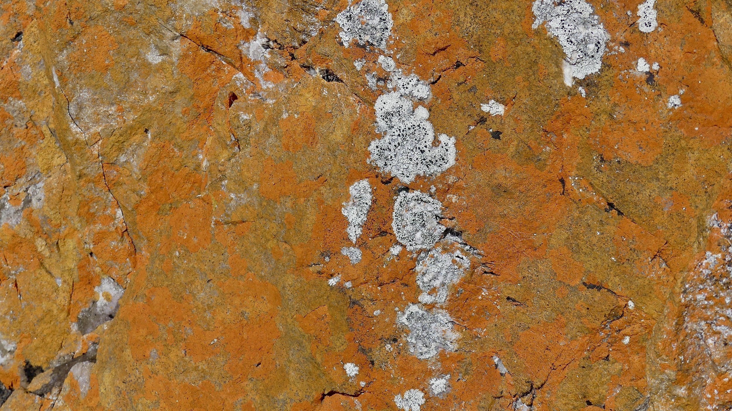
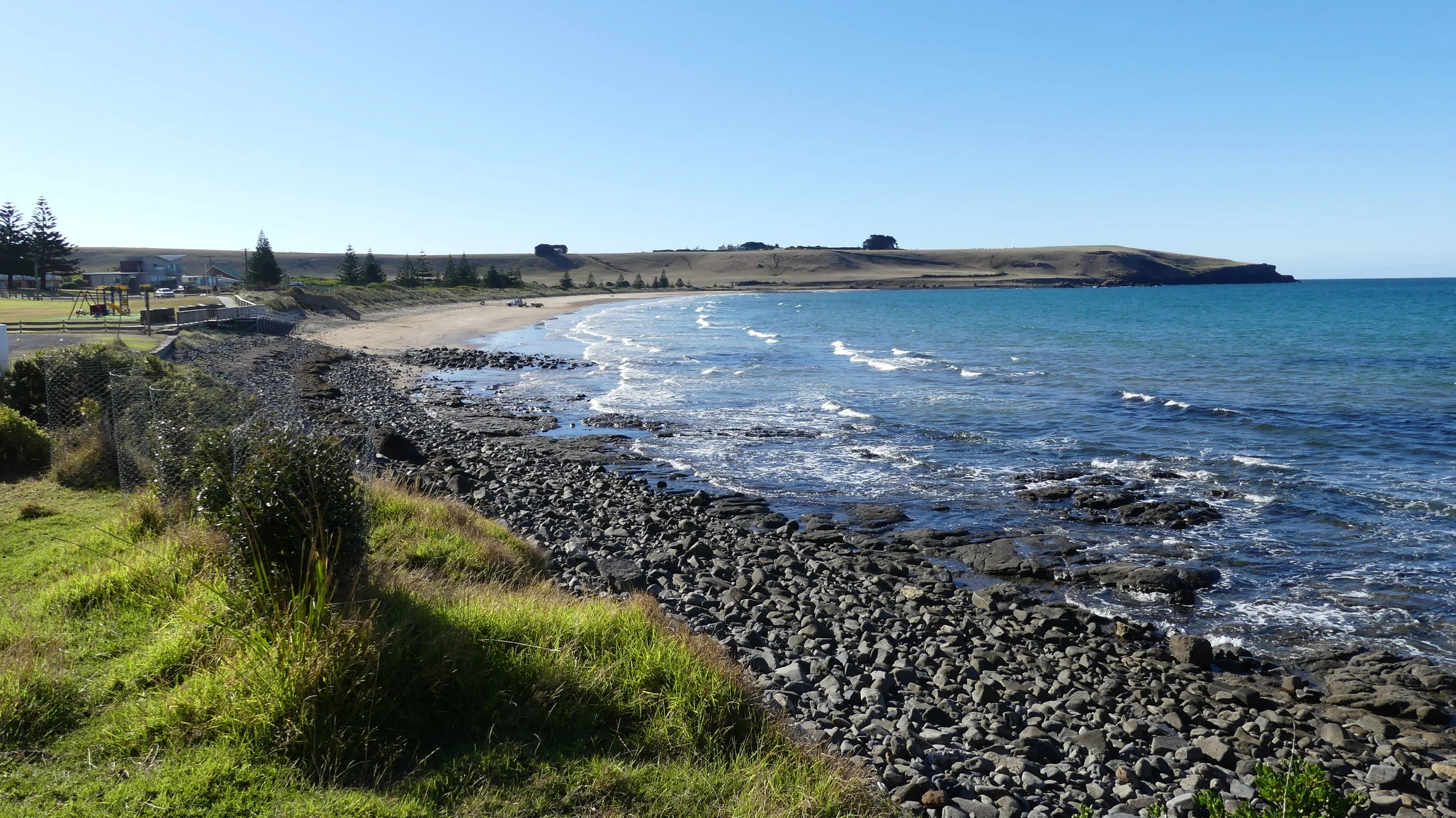
It was a glorious morning on Rocky Cape. The red-lichened rocks glowed warm and reminded me of the Bay of Fires on Tasmania's east coast. We almost had the place to ourselves.


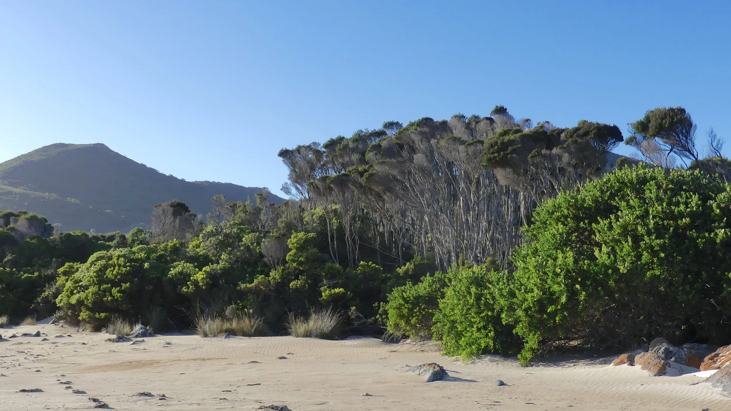
Burgess Cove


We drove on to Burgess Cove. As usual, if you keep your eyes open, there are many interesting features of a landscape, in this case wonderful coastal heathland and rocky shoreline.


We had been staying just outside the National Park boundary, off Rocky Cape Road. As we started out for the Park, we got the closest we'd been for a while to a Bennetts (or Red-necked) Wallaby. The previous early morning, I had stalked another at the back of 'our' beach, on my stomach and with maximum zoom. I never thought for a moment the camera would focus on the creature, not the grasses she was hiding in. I say she: she had to be; and she's a Tasmanian Pademelon (or Rufous Wallaby).

Bennetts Wallaby

Tasmanian Pademelon
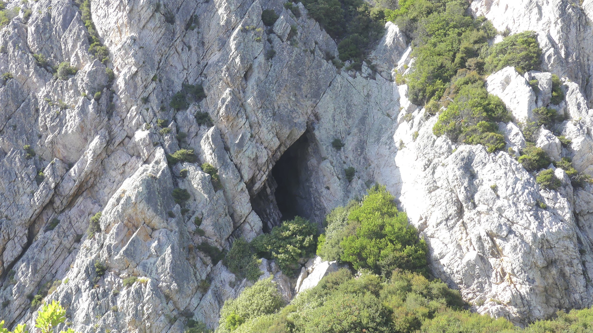
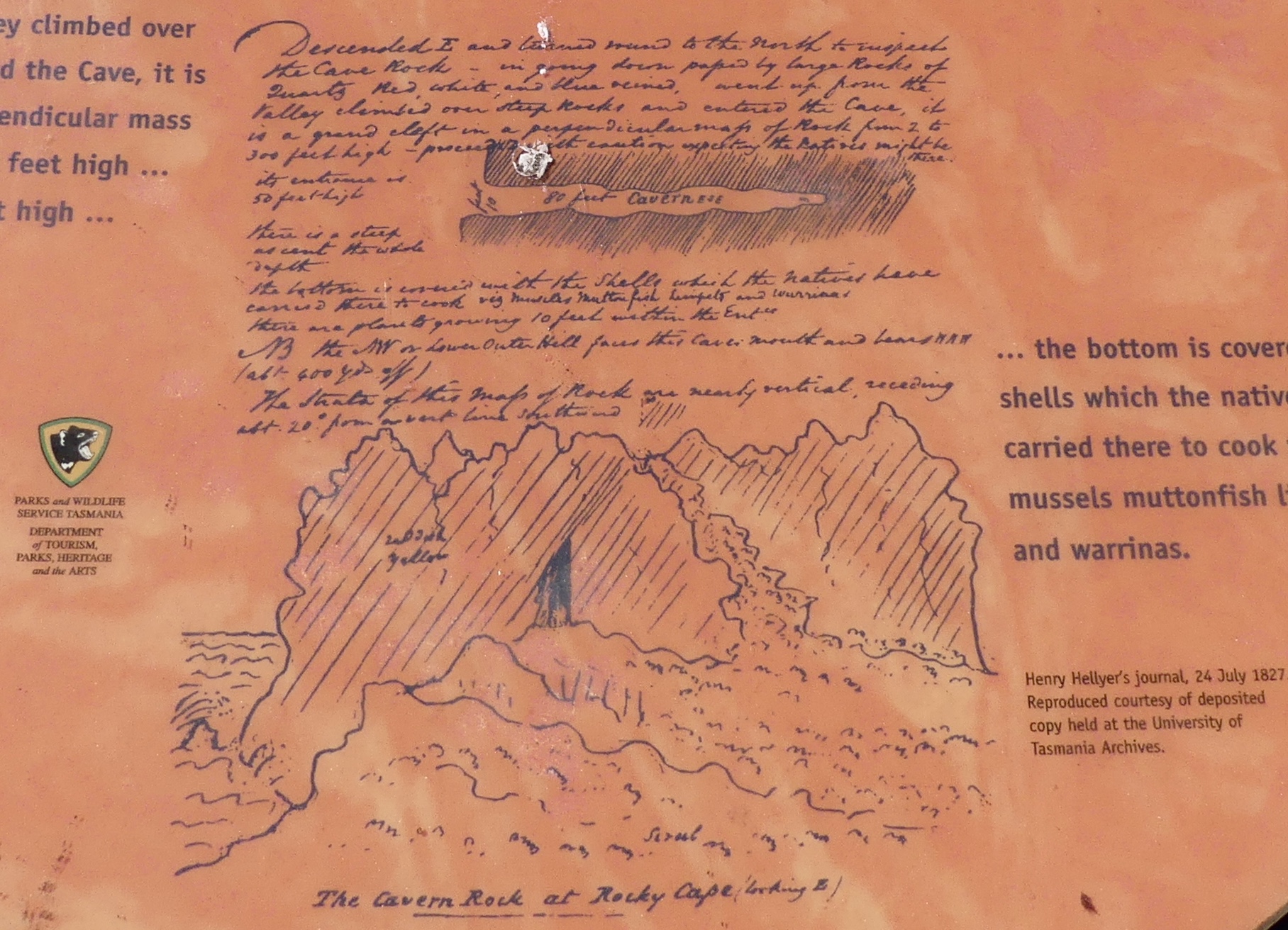
We drove first to Rocky Cape Lighthouse and North Cave, an Aboriginal shelter not accessible to the public except from a viewing platform. Northwest Tasmania was occupied before the region was separated from the mainland. Cave middens (shells, tools, bones and charcoal) reveal 8000 years of continuous occupation. English surveyor Henry Hellyer was the first European to visit the cave.
It may be of no surprise, given a long history of environmental battles in Tasmania, that this national park had to be fought for prior to its creation in 1967. First there were plans for its subdivision into holiday shacks, and then the hills were bulldozed for gravel to construct the jetty at Port Latta (see below).
From Rocky Cape we could look across the sea to The Nut at Stanley…

… and the death factory; obviously my name for it. Because that's what it looks like: evil; sinister; satanic; I imagine people walk in there and are never seen again. It belches smoke at all times of day and night. Stretching out to sea is a long, long jetty, at the end of which empty tankers dock silently and wait (Port Latta).


Not that I was obsessing. But I had to find out what this hideous blot on the landscape was. Its entrance is on the Bass Highway between Rocky Cape and Stanley, and I drove in. There's no secrecy about what goes on here (for more detail, see here). It is an iron pellet plant – production began in 1967 – connected by an 85-kilometre pipeline to an opencast mine and concentrating complex at Savage River, deep in the northwest Wilderness. The slurry-carrying steel pipe runs overground in a remote area where it is believed to be out of sight and mind. The operation is run by Grange Resources.

One night we had dinner in Stanley. I'd intended to walk up and down The Nut beforehand, but we ran out of time (excuses). We were also distracted by the discovery that you can observe Little (Fairy) Penguins coming ashore after dark and waddling to their burrows, having had a good feed. I'm not going to tell you where exactly because our experience upset me so much I don't want anyone to go there. The Penguins should be left alone. The more I see of wildlife tourism the more horrified I become.


After sunset, we went to the place, where a small number of people had already gathered. There were signs making it perfectly clear where you shouldn't park yourself, namely on the penguins' route up from the beach, which was obvious even in the almost dark. Most of us were to one side, but inevitably idiots turned up and plonked themselves right in the middle, possibly imagining the penguins would walk on by. Suddenly a man turned up and took charge. I'm not sure whether he was a part-time ranger or a volunteer but he had driven from Wynyard (east of Stanley), and thank goodness he had. He shone an infrared torch so we could see any penguins that were otherwise in complete darkness. He insisted all phones and tablets were turned off: flash photography and videoing were not allowed. Penguins are disorientated by bright light and stupid humans standing between them and their burrow. He had to tell one East Asian tourist three times that the rules applied to her as well and she must turn off her tablet. (I tell you her provenance because invariably, in my experience, it is East Asian tourists who flout clearly signposted instructions about how to protect landscape, fauna and flora.)
We must have seen a dozen penguins in all, some of which progressed painfully slowly over the rocks to the comparative safety of their burrows. When people wanted to leave, our guide checked there weren't penguins on the path before letting them go. We were amongst the last to leave, and there was a penguin right by the path. The man explained that it had been left behind by its parent because it was small and unlikely to survive, and the parent had another mouth to feed. When asked earlier how many penguins there were in the colony, he explained there had been about 70 until a dog attack the previous year. One dog on the loose killed 40 penguins in a single night. There are no words.
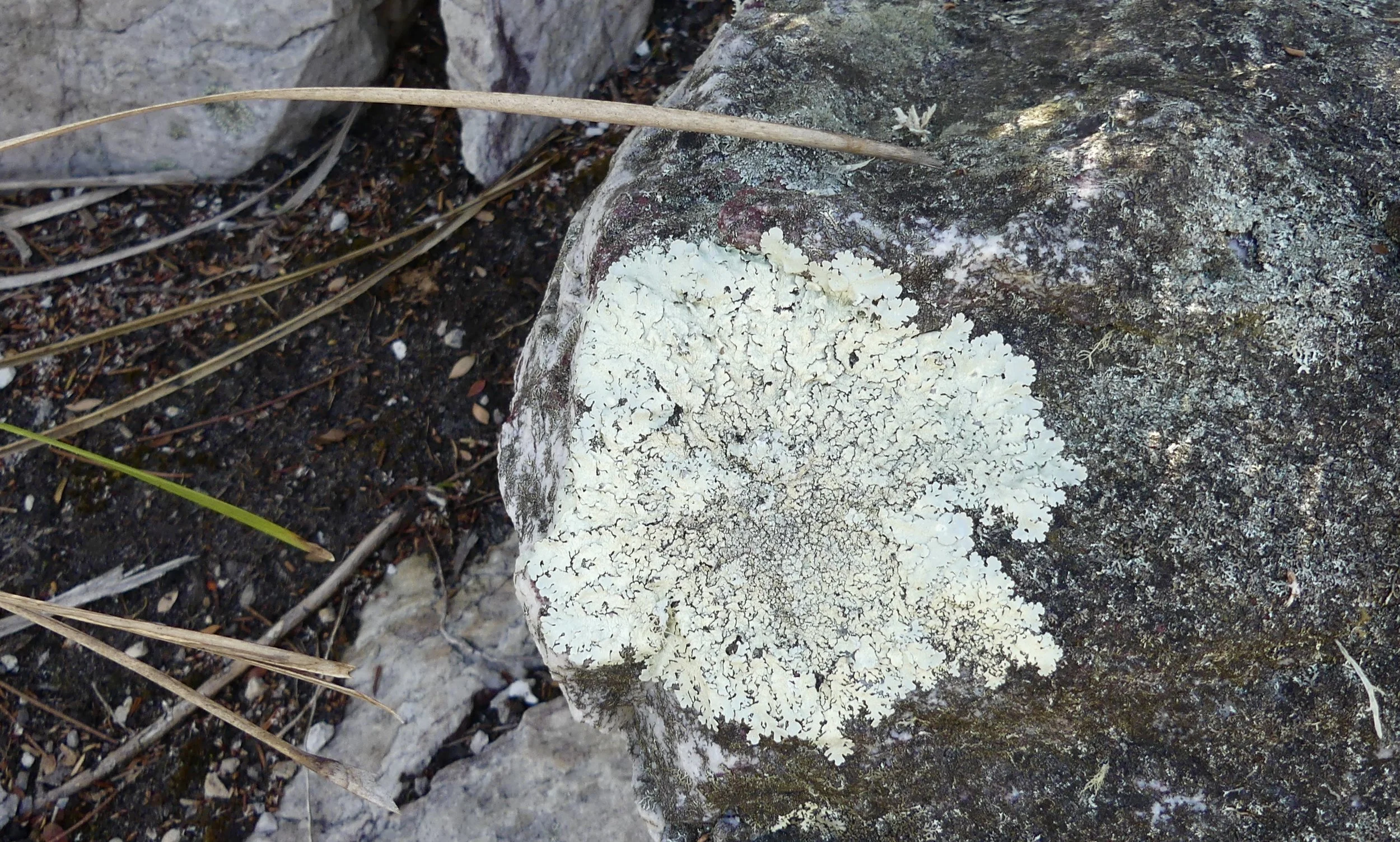
The following day we were walking on a beach at the eastern end of Rocky Cape National Park and came across this. It sums up my despair about the fragility of life on an increasingly over-developed and over-populated planet.

Here's more information about Little Penguins.
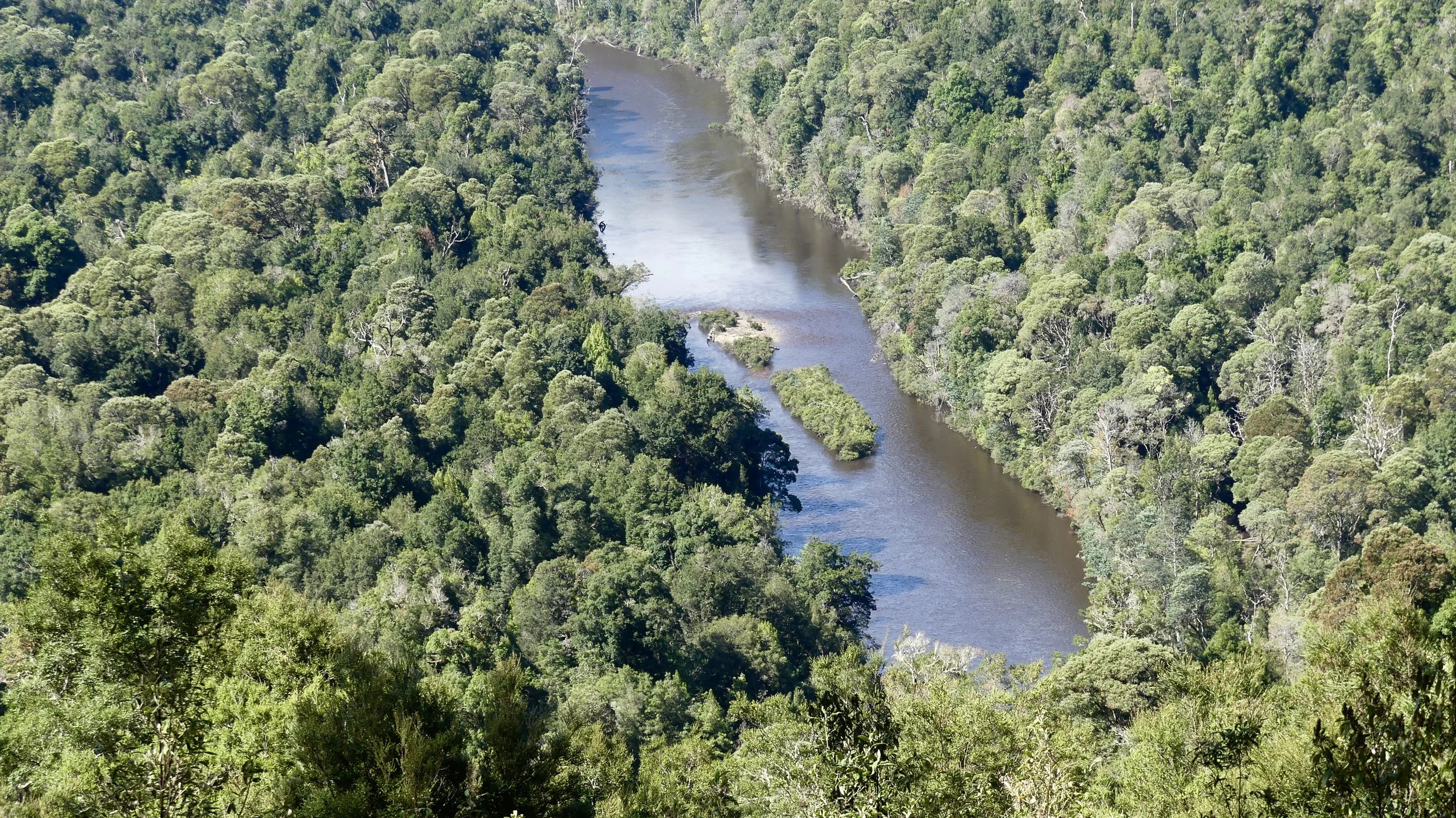
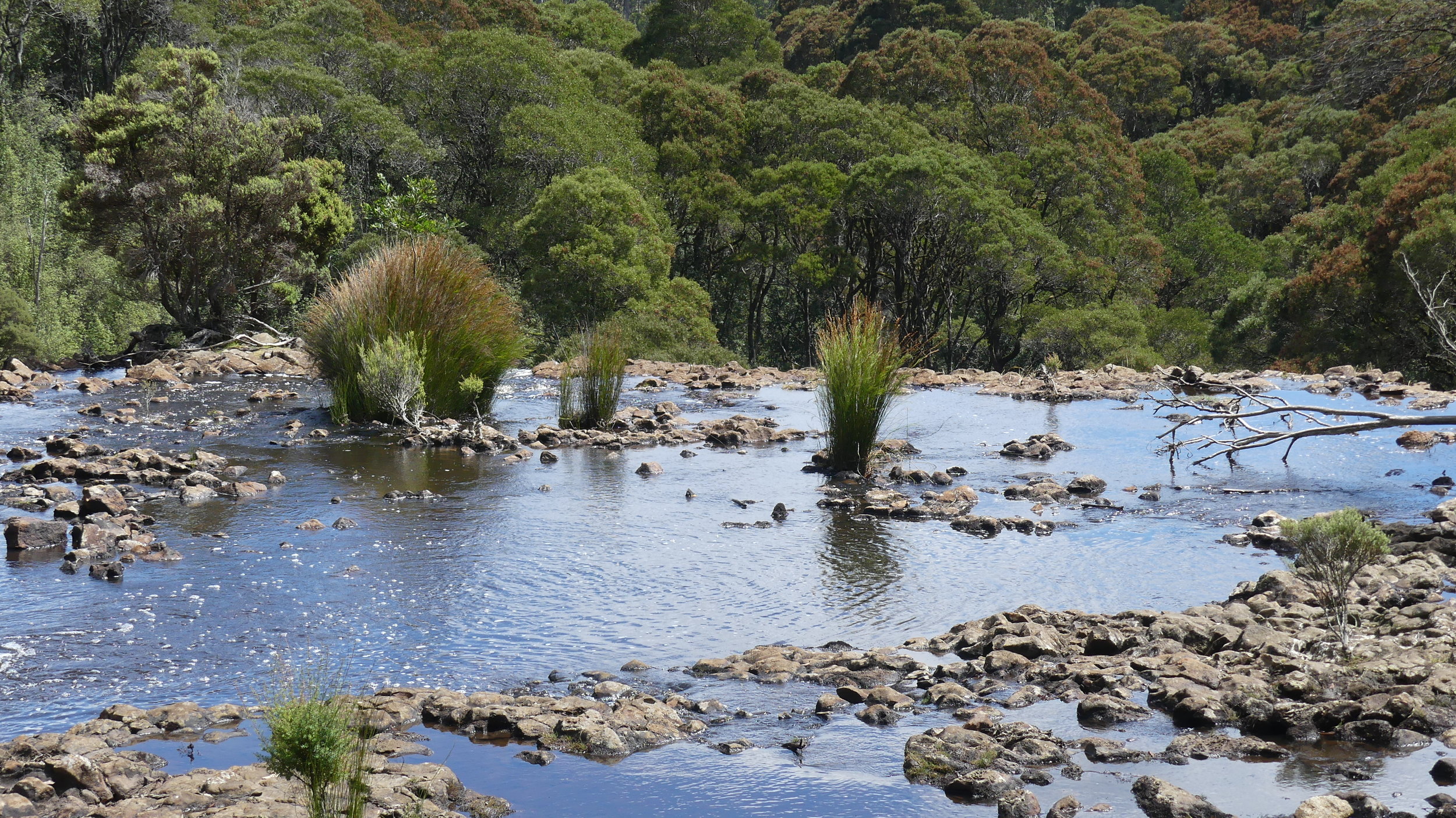
Greg, of Arthur River cruise fame, had recommended Dip Falls down the Mawbanna Road off the Bass Highway east of Stanley, where we had coffee and stocked up on leatherwood honey after Rocky Cape. We ummed and ahhed because the Falls are 30 km off the Highway. (The last few kilometres are unsealed, by the way.) Guide books say it is easy to overlook Dip Falls: make sure you don't if you're anywhere near.

Dip River
The edge

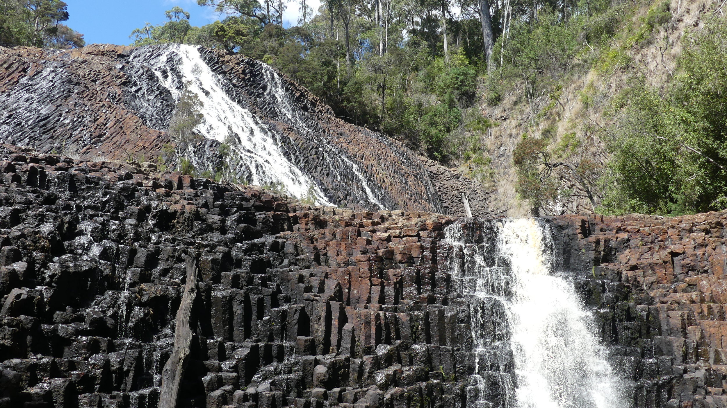


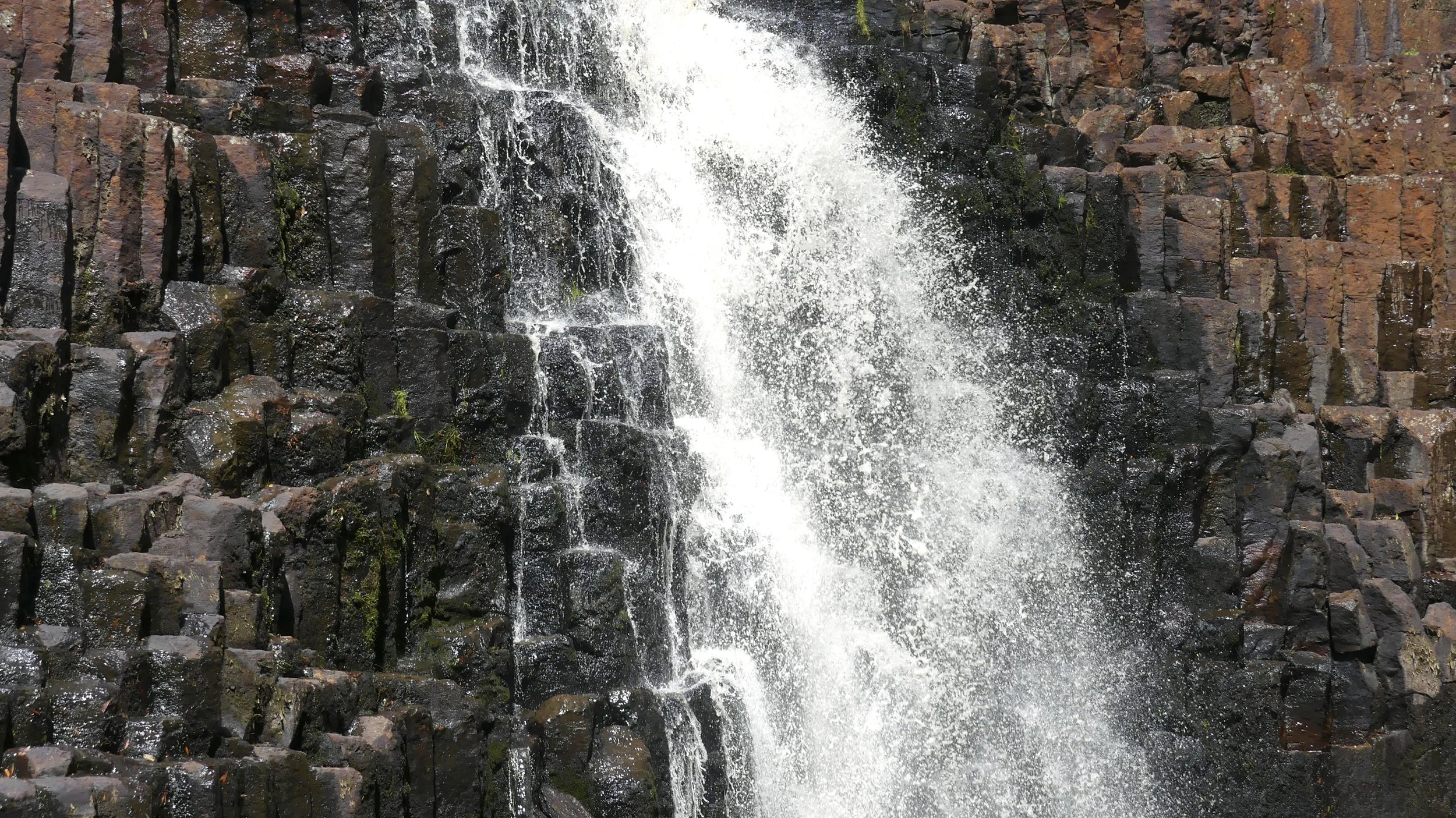
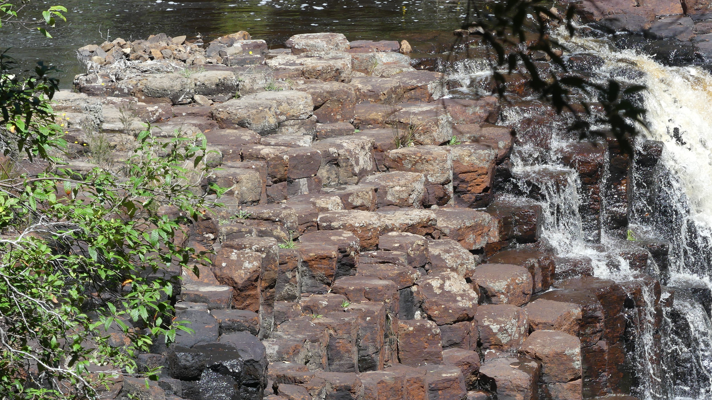
These two-tiered cascade falls are, of course, much wider and fuller in the winter, but all the better now to see the hexagonal basalt columns, formed during the cooling of volcanic rock millions of years ago. I had never seen anything quite like it: unfortunately, I have yet to visit Giant's Causeway in County Antrim, Northern Ireland.
There's a long but easy flight of stairs down to the bottom of the waterfall, and viewing platforms either side.


A kilometre or so further up the road is a Big Tree, a Brown Top Stringybark that has survived wildfire, lightning strikes, insect and fungal attack and timber-getters, for about 400 years. It is 62 metres tall and 16 metres round its base, which is unusually large. Its large buttresses indicate its great age: the tree may well be hollow inside. Stringybarks can reach even greater heights, and the tallest in Tasmania grow in the Florentine Valley near Maydena.


There was another tall tree close by, and another, so tall I could barely see the end of it, that had sadly come to grief on the forest floor.


From here, because we had our own car, we could cut east across country on an unsealed track, re-joining the Bass Highway at Montumana. Only a little further on was the turning to Sisters Beach and eastern Rocky Cape National Park. Instead of going where we'd been before, we followed Postmans Track almost as far as Breakneck Point. There was the customary Pacific Gull, observing but doing little else; a solitary pellie, which was unusual; and a splash of colour as we left the beach.


Green Rosella
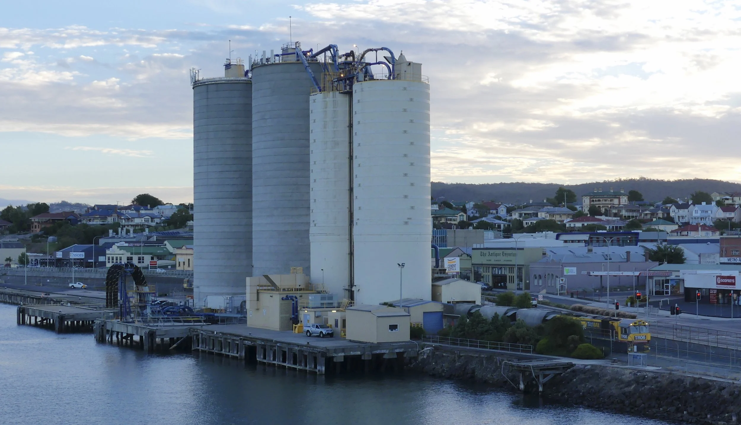
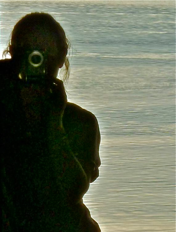
It was time to return to Devonport and the ferry home, a prospect that didn't make me happy, naturally, even though there were containers, silos, a sunset and some weird geezer waving us off. I tried to work out when we might be able to return, but to take a car across the Bass Strait and stay in a delightful cabin by a deserted beach had not been cheap.